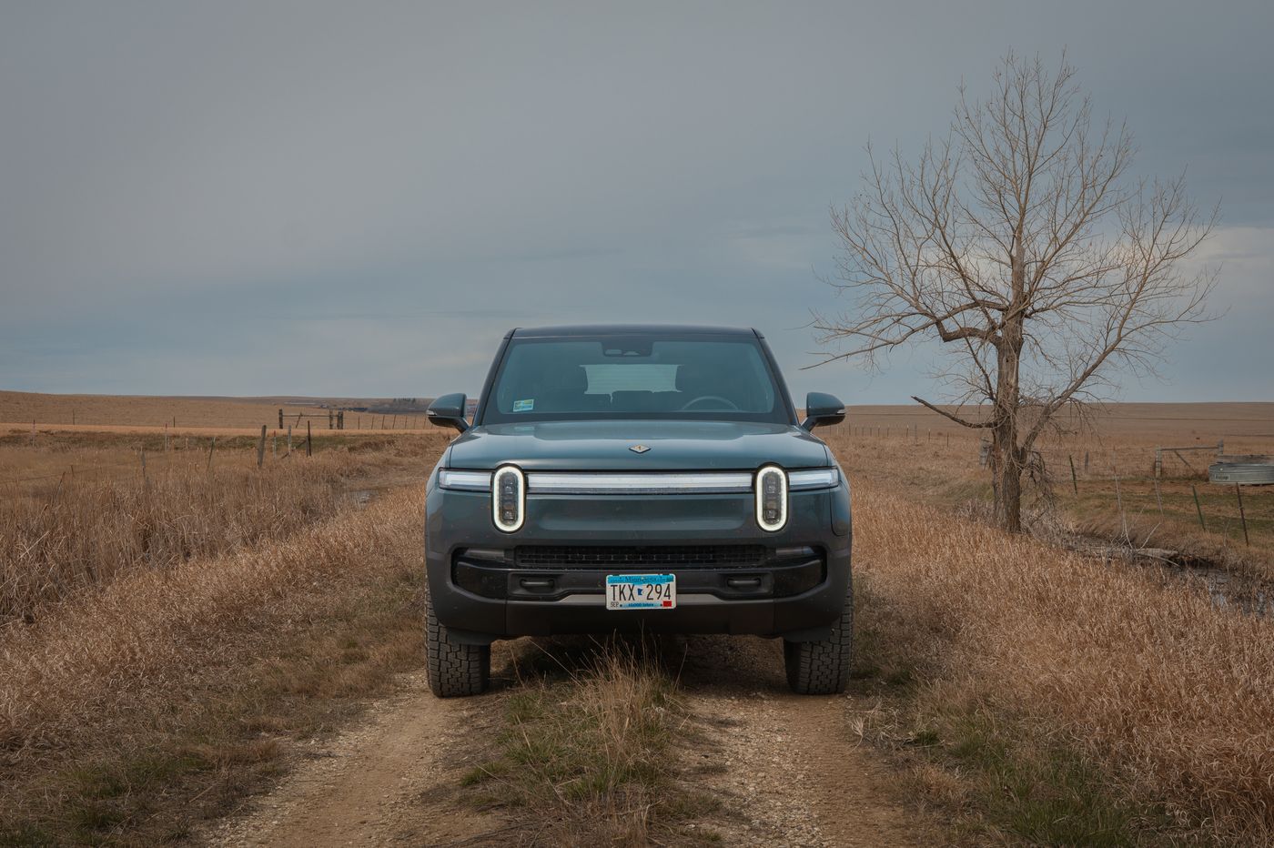
Early April 2026. Two thousand miles, fifteen charging stops, and one state high point. The real reason for the trip was simpler than any of that — ten years at the same company, a job change, and the need for some serious windshield time to bring a little clarity. The wide open road is good for that and the Dakotas and Montana felt like the right prescription.
I didn't leave until around 3pm, which meant rolling into Bismarck somewhere around 10pm. Bismarck is fine — nothing bad to say about it, but not terribly interesting either. I woke up to 21 degrees and blustery conditions, grabbed a quick coffee, did a brief exploration of downtown, topped off the Rivian, and pointed west. The next stop was Dickinson; another coffee, an apple fritter and another round of charging. An hour later I arrived at Theodore Roosevelt National Park.
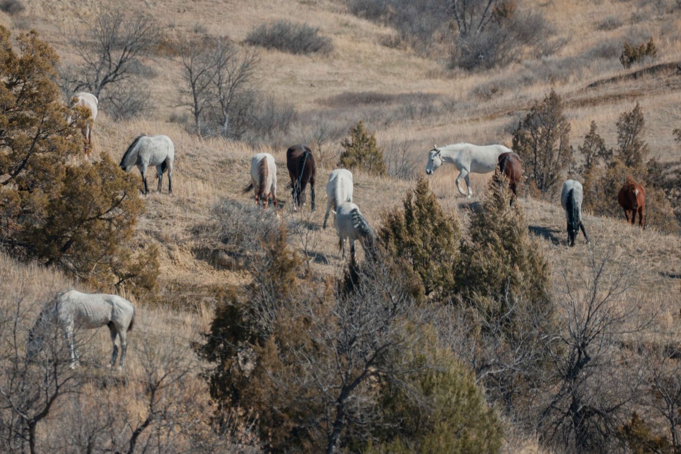
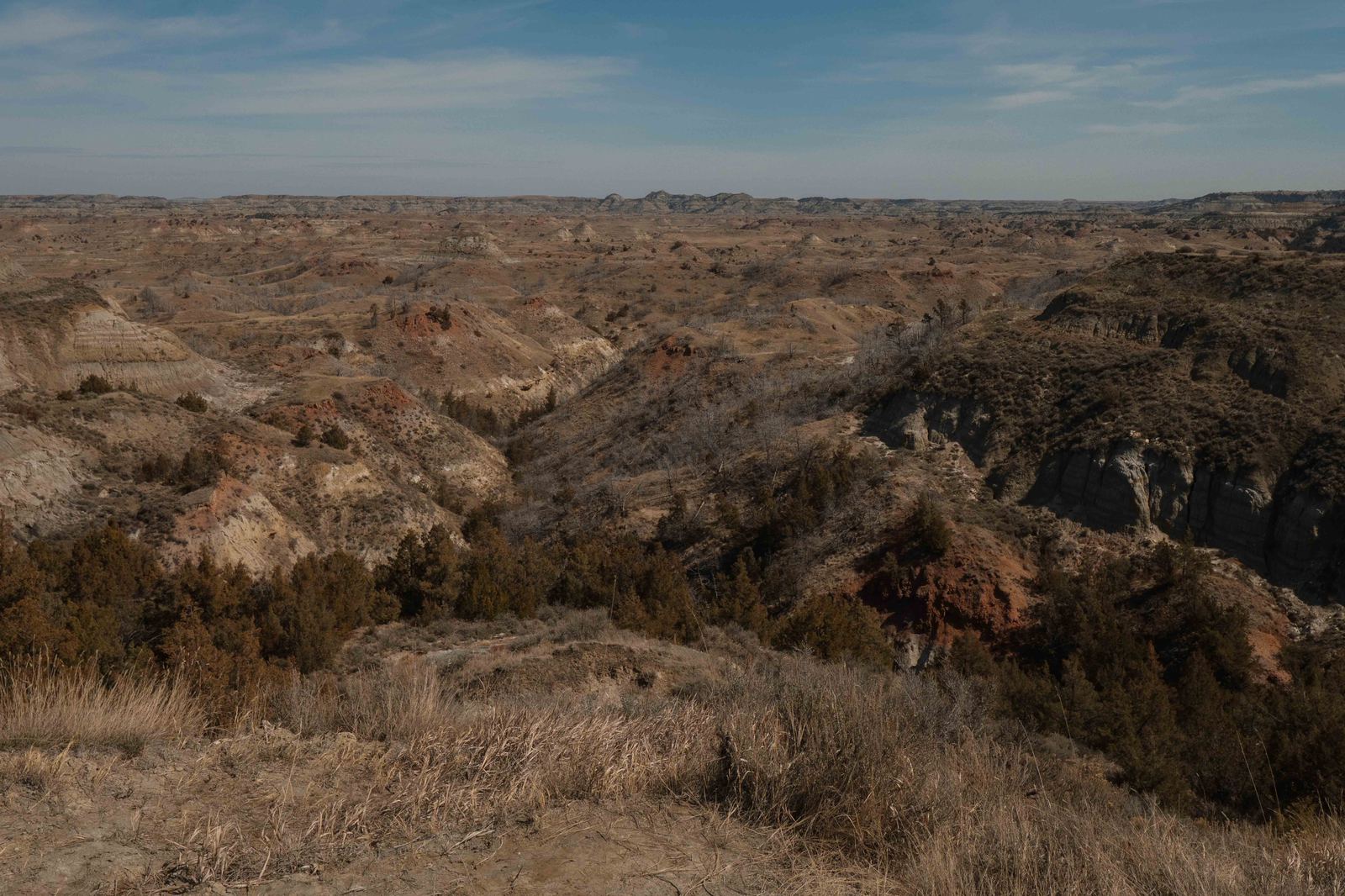
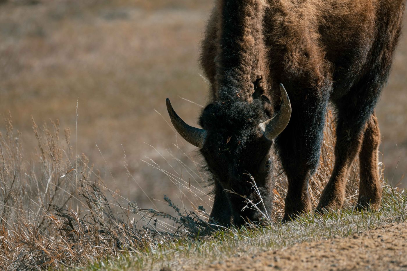
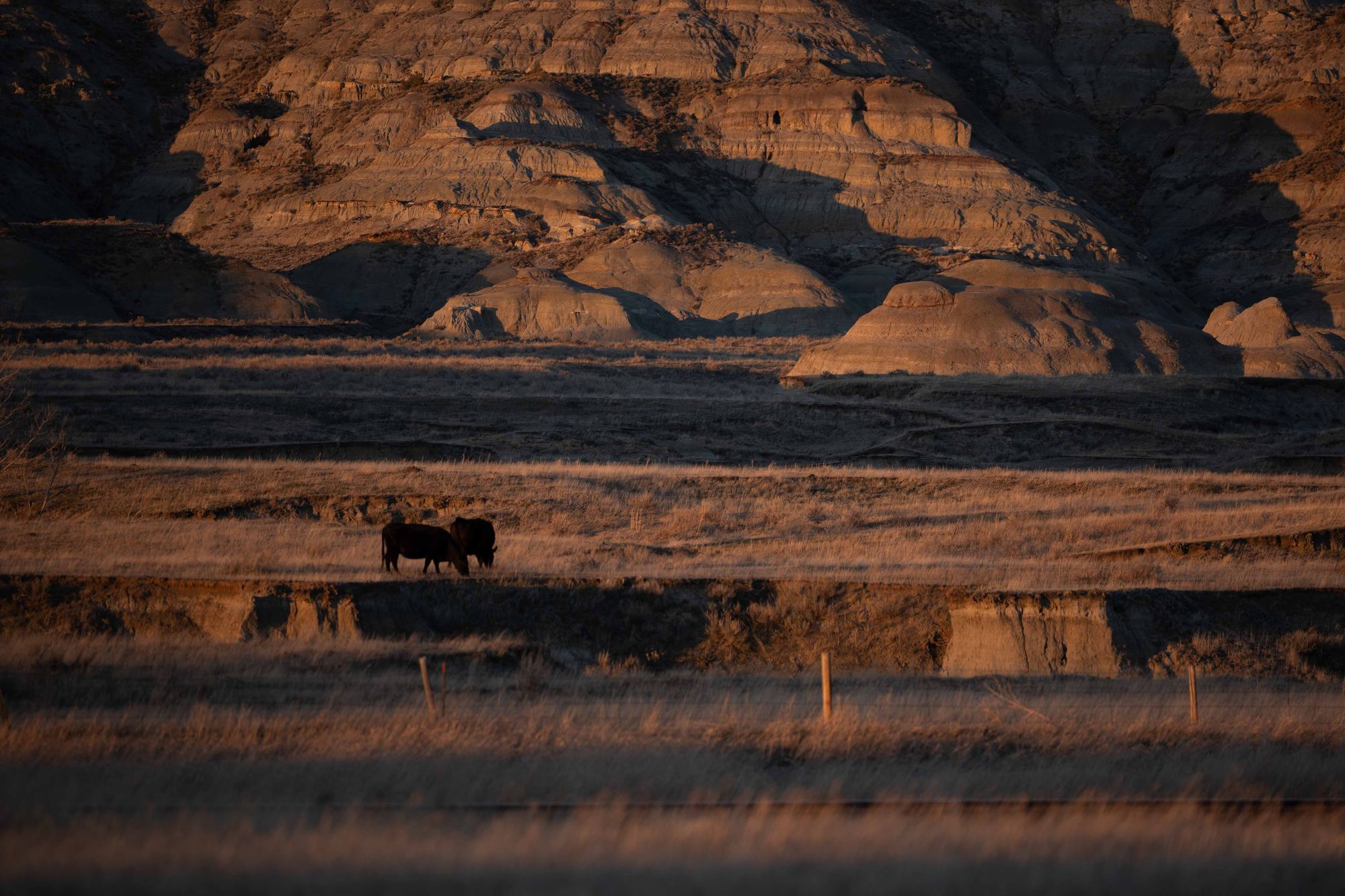
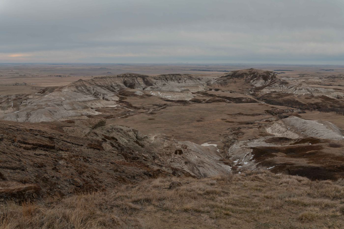
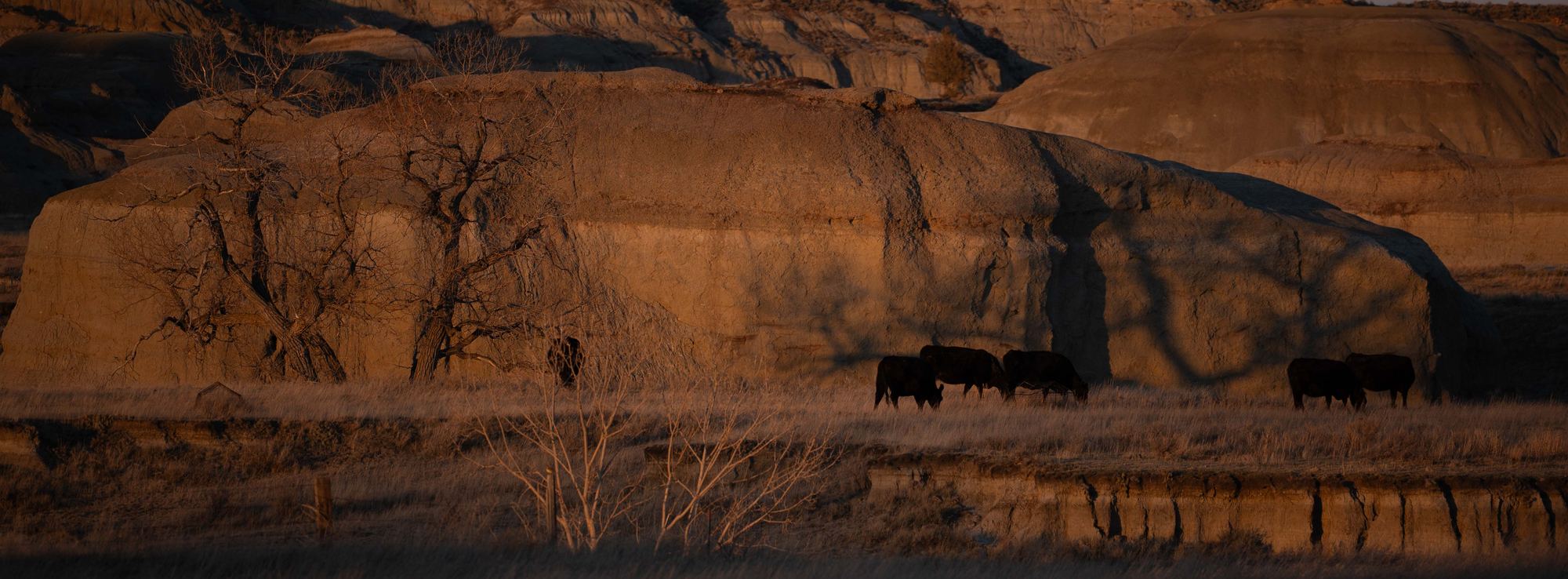
Here's the honest truth about Teddy Roosevelt in early April: I was about three weeks early. Spring had not arrived. The park was brown and arid — still beautiful in that high-plains, end-of-winter way, but not the version you've seen in the photos. I spotted wild horses and plenty of bison, and managed a few decent frames, though the midday light was harsh and flat. After about 20 miles of driving through the park, I head west into Montana, where the temperature climbed quickly through the afternoon.
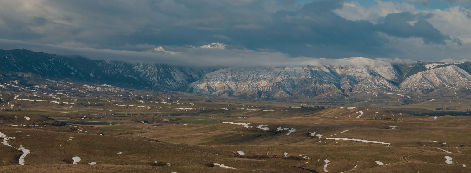
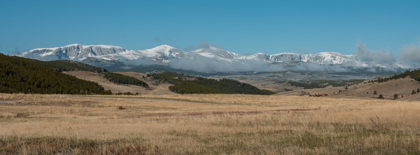
Miles City was in the high 70s by the time I rolled in and hit the fastest supercharger that side of the Missouri River. Then south through rural Montana and the North Cheyenne Nation and into Sheridan, Wyoming by evening. The Bighorn Mountains announce themselves from miles away as you come south through Montana, and the closer you get, the more the scale registers. Spring had arrived here: leaves starting to open, the tall prairie grass actually green. Sheridan is a proper cowboy town — well-kept main street, good hotels, a few solid restaurants. Found a great steakhouse. Good dinner and a cocktail and settled in for the evening.
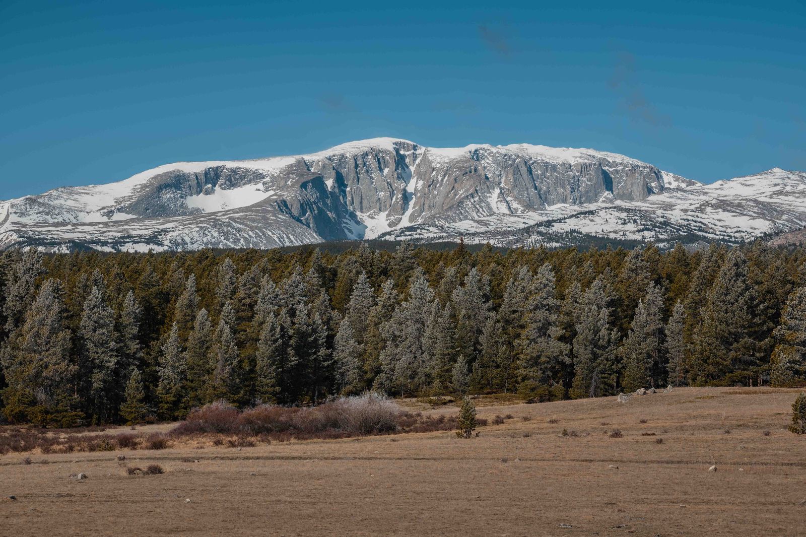
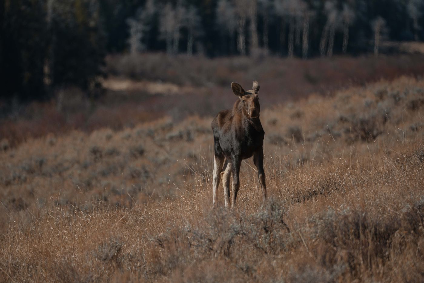
The next morning I drove down to Buffalo to charge — another solid little cowboy town tucked against the eastern face of the Bighorns — then spent the morning on the Cloud Peak Skyway Scenic Byway. If you haven’t driven it, it earns the detour and I will be back. The road climbs into the mountains, the views open up dramatically, and the crisp air has that high-elevation clarity to it. Found a moose grazing in a meadow and spent some time trying to get the shot, but the late morning sun had already turned harsh. The moose was more cooperative than the light.
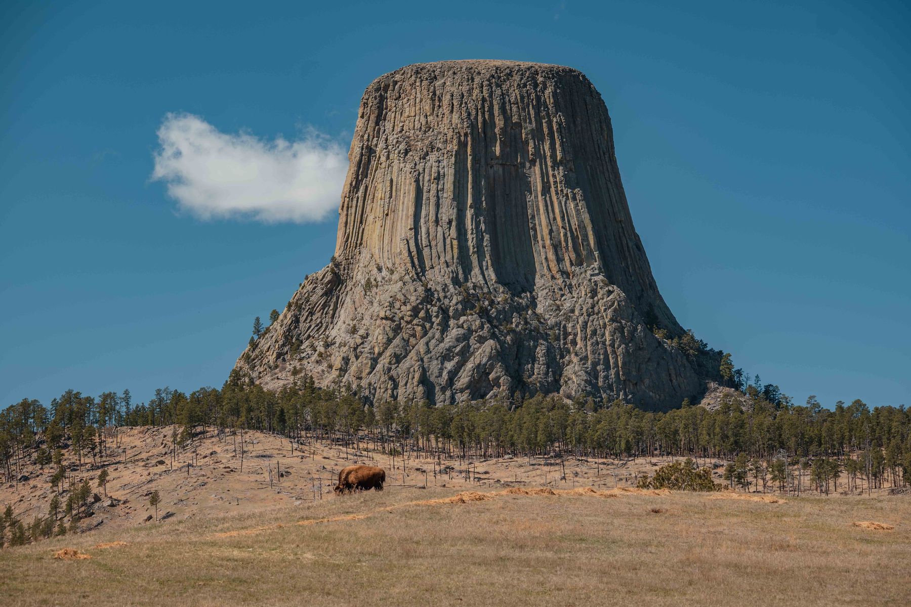
From the Bighorns, east to Devils Tower through Gillette. Gillette — and I say this with kindness — could have been anywhere. Strip malls, chain restaurants, nothing to distinguish it from a hundred other interstate stops, except for maybe that wide open sky that Wyoming and Montana are known for. Useful for charging. Nothing beyond that at least from what I could see. With the battery topped to 100%, I made the drive to Devils Tower, walked the perimeter, took some photos. Devils Tower earns its reputation; even a short stop delivers. A single bison was grazing below the formation when I arrived, doing his best to look unimpressed. He succeeded.
From Devils Tower, north and east through the long, empty, genuinely beautiful stretch of eastern Montana, another charging stop in Miles City, and then onto Bowman, North Dakota for the night. Bowman is a quiet High Plains town with a good bar and exactly what you need at the end of a long driving day — a meal, a bed, and not much else to think about.
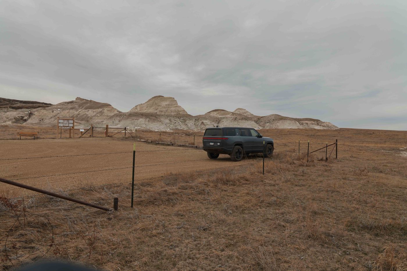
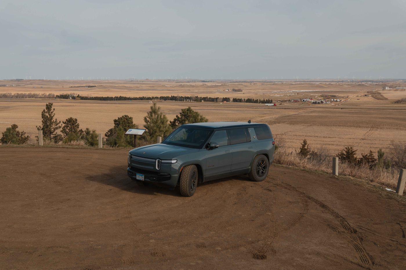
The last morning: Bowman to White Butte, North Dakota's highest point at 3,506 feet. Ten miles of dirt road to the trailhead — rutted but easy work for the Rivian. The hike itself is also easy: four miles round trip, 350 feet of gain. It's not a dramatic summit by any measure, but that's sort of the point. From the top, rolling prairie in every direction as far as you can see. You're standing on top of North Dakota, and the state is doing exactly what North Dakota does. Then the long drive home — four more charging stops, across the Minnesota line — and back to Minneapolis by late evening.
The BreakdownThe Rivian Verdict
Two thousand miles, fifteen charging stops, and an honest assessment: Solid B.
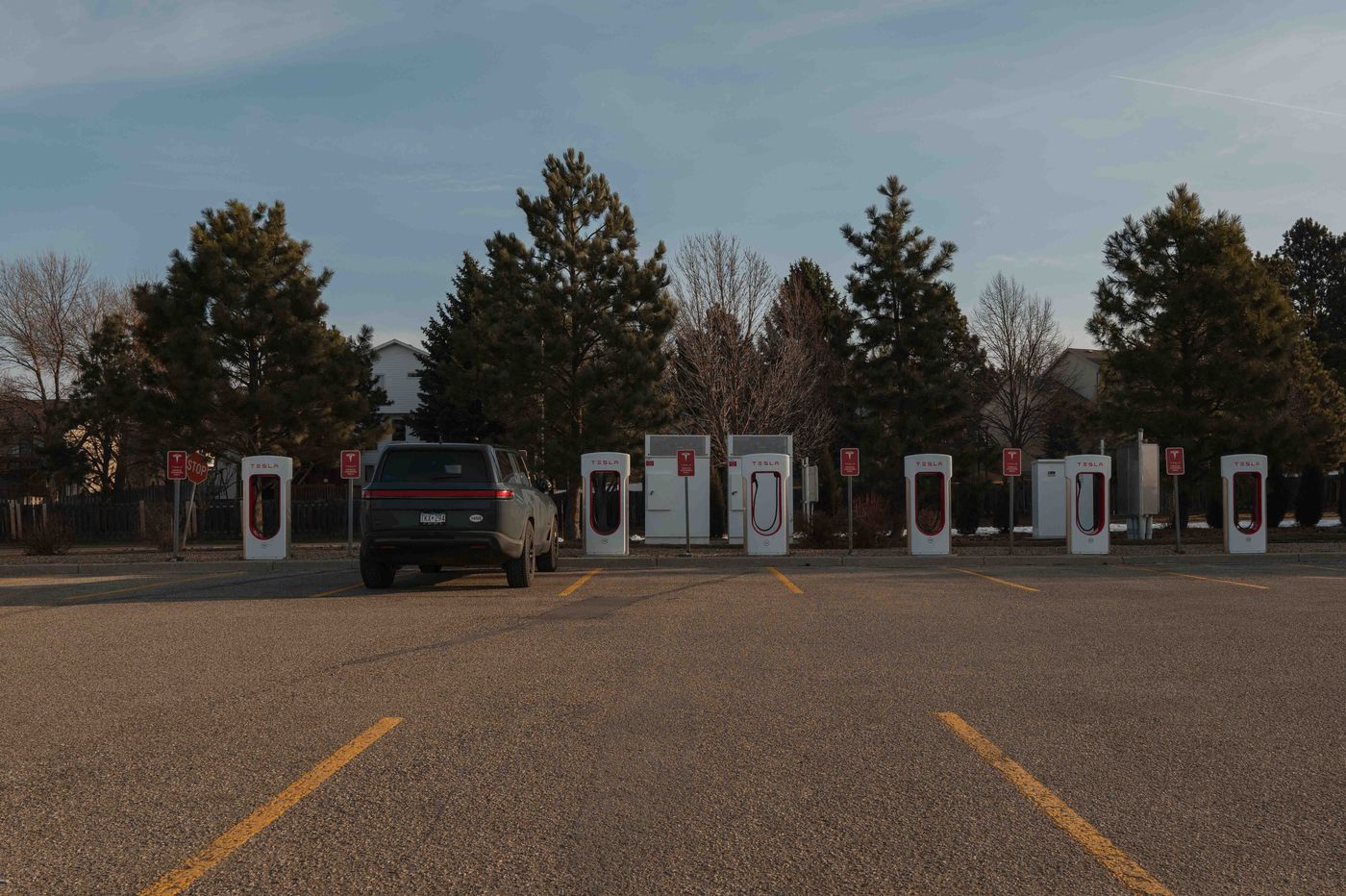
On the right corridor, the Rivian is a genuinely excellent road trip vehicle. I-94 through North Dakota and into Montana works well — Tesla Superchargers appear roughly every 90 miles, they're fast, and the process is seamless. Where the system breaks down is everywhere else. The entire state of South Dakota is effectively a dead zone for Rivian charging. I routed around it entirely, which says something about the current state of Tesla third-party network access.
Two moments on this trip were genuinely stressful. The first was Sheridan, Wyoming. I rolled in with about 40 miles of range, located a ChargePoint charger, and my adapter refused to connect. I ended up plugging into a standard 110V outlet at the hotel, which delivered roughly 15 miles of range overnight — enough to reach Buffalo and the next Tesla Supercharger the following morning, but a closer call than comfortable. Lesson: have a backup plan before you need one.
The second was the stretch from Gillette, Wyoming to Miles City, Montana via Devils Tower. Google Maps estimated 240 miles. I left Gillette fully charged — 340 miles of rated range. I arrived in Miles City with 11 miles left. That's not a rounding error. Elevation change, wind, and speed all played a role, but the Rivian's range estimation needs to account for real-world conditions more accurately. Rolling into a charging stop in rural Montana with 11 miles left is not a comfortable experience.
The vehicle itself is excellent — comfortable, capable, and more than up to the task of long-haul driving. The Autonomy+ is a genuine game changer on big open-highway miles: set it to universal hands-free, kick back, and let the Rivian handle it while the landscape does what it does. The gaps are in charging network coverage and range prediction accuracy. On a well-supported corridor, there's nothing to complain about. Get off that corridor, and you're doing mental math for the last 50 miles watching the percentage tick down. That's fixable — and it needs to be fixed before EVs are truly road-trip ready for the full West.